top of page

Footpaths within Wanborough Parish

This page shows the footpaths (or more correctly public rights of way) within the parish boundary.  These routes are taken from the definitive routes published by Swindon Borough Council. Further details for each route may be found by clicking 'View Path' on the relevant footpath summary.

​

                   To report a problem or condition update on one of our footpaths click here.

​

                   We use What Three Words to provide location data for our footpaths. To find out more or to download the app click here. 

​

​

W3W.png

Footpath 1

Foxhill side of crossroads Purley Rd, Foxhill, Ridgeway

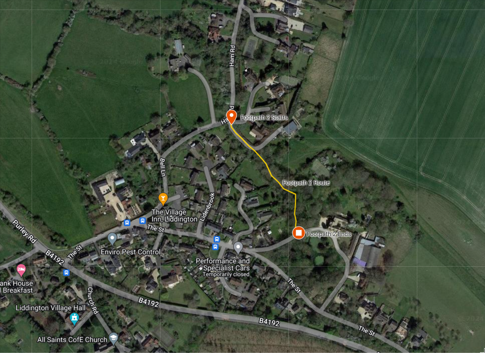
Footpath 2

Ham Road just prior to Bell Lane (First Liddington Bend)

Footpath 3

Style on Ham Road opposite 'Westerlea' House

Footpath 4

The Lynch Gate, St Andrew's Church Wanborough

Footpath 5

Pack Hill left side descending (304m from 30mph signs)

Footpath 6

Pack Hill right side descending (348m from 30mph signs)

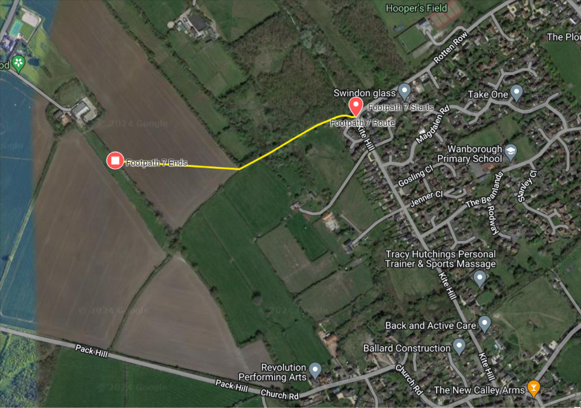
Footpath 7

Junction of Kite Hill, Rotten Row and Underdown Close

Footpath 8

Church Road just prior to Pack Hill

Footpath 9

Juntion of Church Road and Mayfield

Footpath 10

Junction of Kite Hill and Rotten Row

Footpath 11

Junction of Mayfield and King Lane

Footpath 12

Brow of Kite Hill (right descending)

Footpath 13

Staceys Lane Junction with Church Road

Footpath 14

Historic 'Binlands' route from introduction of Footpath 13

Footpath 15

N.W corner of Wanborough School playing field

Footpath 16

Junction of Kite Hill and Jenner Close`

Footpath 17

Junction with footpath 16 roughly midway between Rotton Row and Magdelen Road

Footpath 17a

End of Avenell Road adjoining Lower Wanborough Recreation Ground

Footpath 18

Footpath opposite junction Magdelen Rd and Avenell Rd

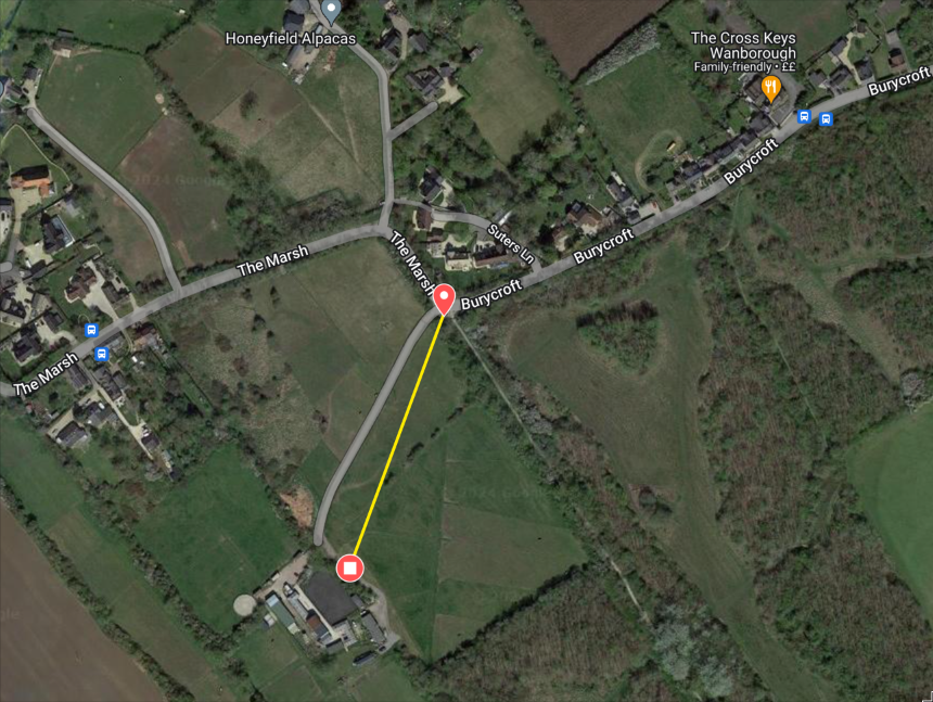
Footpath 19

Junction of Burycroft and The Marsh (bend)

Footpath 20

Bends at junction of The Marsh and Burycroft

Footpath 21

Second bend in The Marsh

Footpath 22

Westerly Marsh Bend

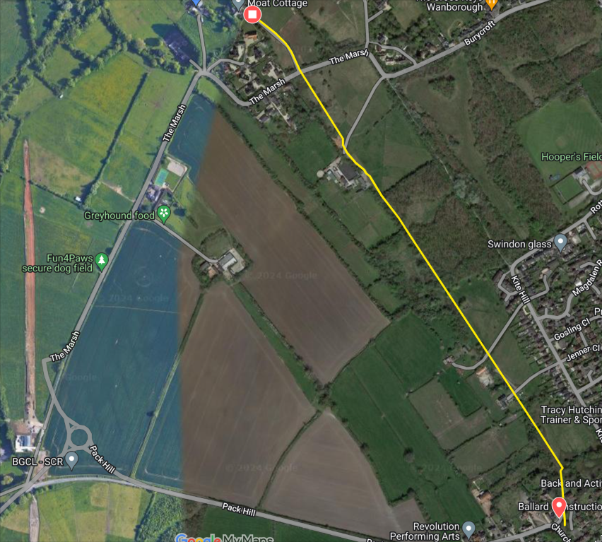
Footpath 23

Near Moat Cottage, The Marsh

Footpath 24

Moat Cottage, The Marsh

Footpath 25

Burycroft, The Marsh

Footpath 26

Rotten Row, Lower Wanborough opposite College Green

Footpath 27

Corner of High Street and Rotten Row

Footpath 28

High Street Wanborough north of Woodlands (Callas Hill end)

Footpath 29

High Street Lower Wanborough west of Plough Inn

Footpath 30

Spur from Footpath 29 land to rear of the Plough Inn

Footpath 31

Branches from footpath 30 adjacent to Matthew's farm, Horpit

Footpath 32

Junction of footpath 31 land to south of Joseph's Farm. Horpit
Footpath 33

Footpath opposite 42 Horpit

Footpath 34

Junction of footpath 33 north of Joseph's Farm

Footpath 35

Old Wick Lane near A419 opposite Dorcan Industrial Estate

Footpath 39

Footpath 42m past Dorcan brook towards Covingham

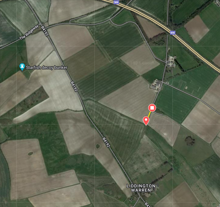
Footpath 41

Branch from Footpath 1 north of Liddington Warren

Footpath 42 (Bridleway)

Juntion of Kite Hill and Rotten Row

Footpath 43

The Marsh (St Katherine Place Bends)

Footpath 44

Footpath 11 land to north of Warneage Green

Footpath 45

Footpath 11 north of Warneage Green

Footpath 55

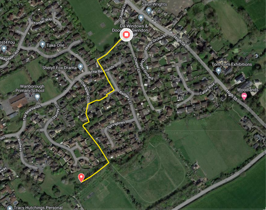
Chapel Lane

Footpath 73

Land approximately 720m east of Baydon bridge over M4

Footpath 74

Magdelen Road

Footpath 75

Former Road junction approx 250m north of junction Ridgeway and B4192

bottom of page